

Technical description
| Type of walk: | |
|---|---|
| Rural lane ranging from 4 - 5m to 1 - 2m in width. For pedestrian only | |
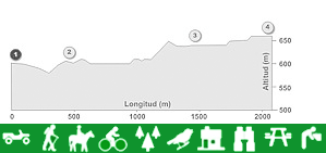
| Distance: | Difficulty: |
| 2.1 Km | Low to medium |
| Duration: | |
| Hiking (1h - 1h 30') / Cycling (30' - 45') | |
| Restrictions: | |
| Restricted access in various parts for motor vehicles, horses and bicycles. | |
Itinerary description
Along this walk you can take various alternative routes. Firstly leave from the town centre of Algarinejo in the direction of “Molinos de Arrabal”. Before crossing the bridge over the river, you will find a picnic area to the right and the start of Route C. To the left is an alternative Route B, which begins at “Los Molinos” and then runs parallel with an irrigation channel. It meets with Route C at another picnic area half way along the walk. Continue from here across the area known as “Las Calderas” where there is another split in the walk: Route D leads to the “Nacimiento de las Llanadas” and Route E takes you through a farmhouse with the same name. To the rear of the farmhouse is a romantic garden. Both options end at the N321 road. From here the road will take you directly back to the centre of Algarinejo. The footpath “Las Calderas” also goes back to the town centre.
The environment
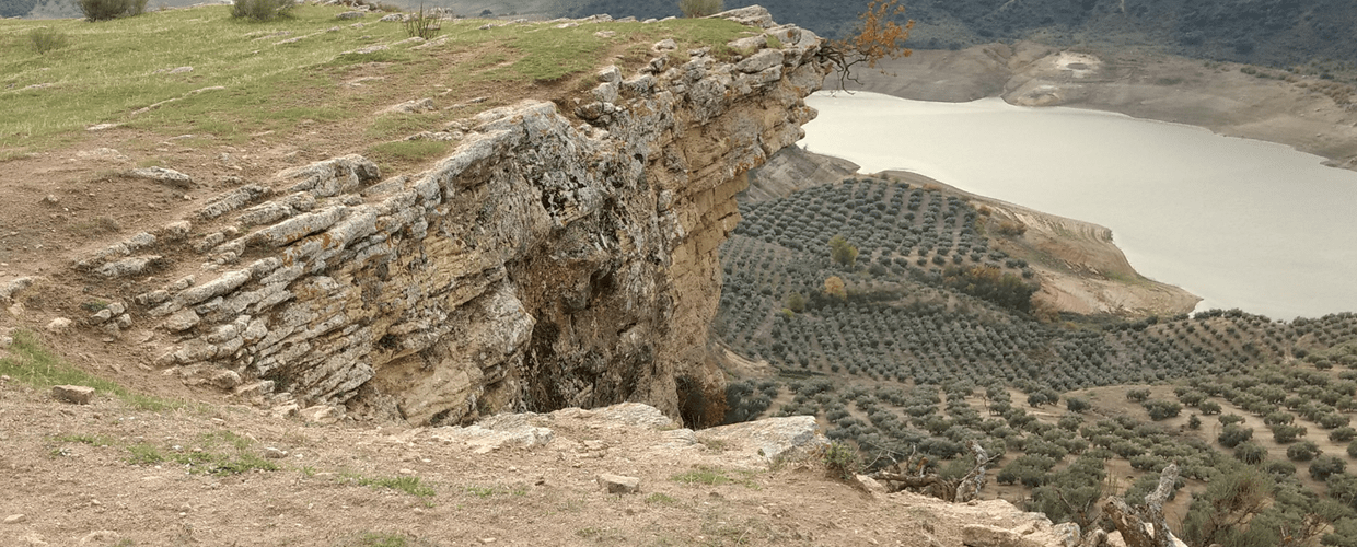
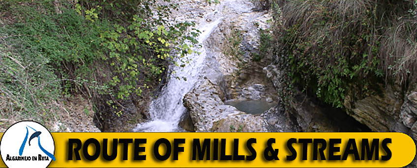
Over the last 40 million years, due to the limestone landscape in this area, a number of streams have converged to from a steep sided riverbed principally known as “Arroyo Morales”, which is a river that flows through Algarinejo.
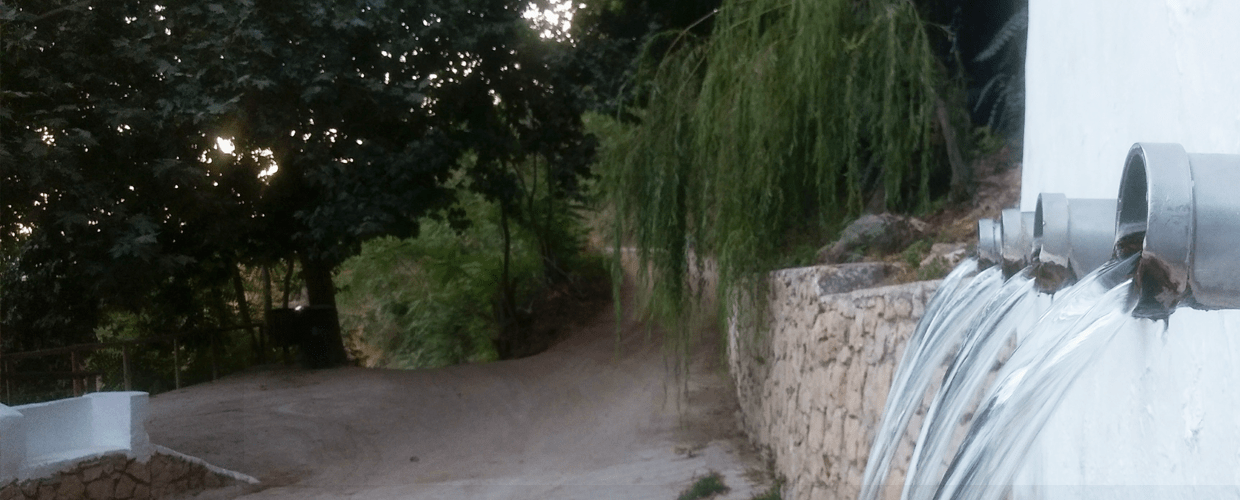
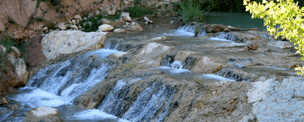
Due to the succession of numerous sources of crystal clear water there exists a diverse and lush environment. You will find ample pools and cascades that provide bathing and recreation facilities and a number of small wooded areas of native trees e.g. black & white poplar, willow, walnut and elm. Distinctively “Nacimiento Fuente de Las Llanadas” and the “Pozas de las Calderas” contain the most significant outcrops and streams in the district.
There is a rich and diverse fauna present: water snake, ladder snake, Montpellier snake, common frog, common toad, nightingale, green finch, owl, weasel, hen, aquatic blackbird, grey wagtail, marten, genet and fish like barbell, bream together with a few not usually found in this area e.g. Rainbow Trout and American Crayfish.
The culture
The use of water in the “Arroyo Los Morales” dates back 3000 years to the Roman era and, as in all of Andalusia, has shaped the natural beauty and complexity of the area that has survived into present day. During the Muslim period many irrigation channels were created together with small holdings that produced vegetables and fruit, which were vital to the surrounding areas.
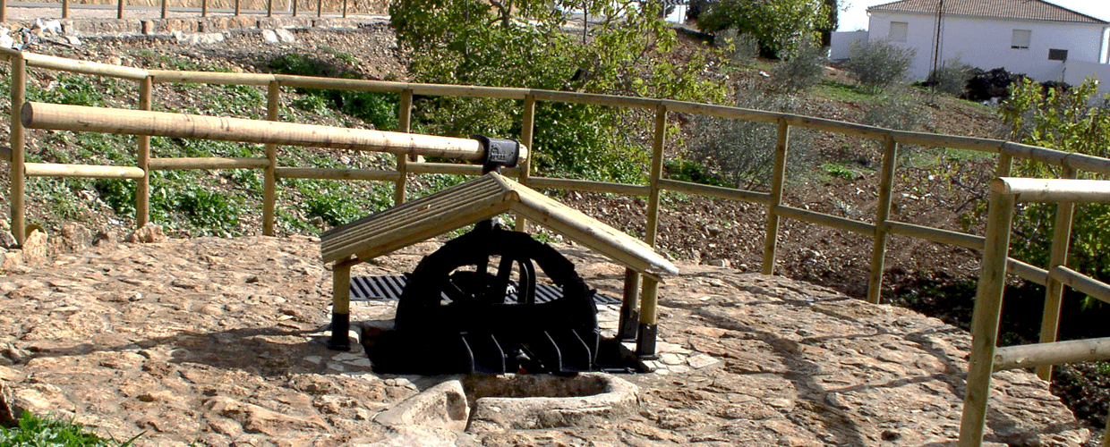
You will find examples of the following: bucket mills powered by the flow of water, irrigation channels known locally as “caces”, terraced small holdings of andalusian origin, looms for making cloth and wool from the abundant livestock around the area, foot bridges, manufacturing complexes and dams. All of which combine along the route as a testament to bygone times.
The “Complejo Hidroélectrico de Nueva España” and the “Complejo Fabril de Las Llanadas” are of great interest for understanding the modern use of water. The production of oil in oil mills, the extraction of liquor distilled from grapes and the production of flour were activities developed in “Las Llanadas” one of the best preserved estates in Algarinejo, dating back to the 17th century. In which you can immediately appreciate the romantic garden from the 19th century together with a single cascade of water.1