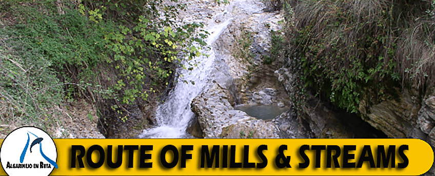
The walk starts from the “Abrevadero de la Harinera”, a good access point from the roads of Algarinejo. Travel along the route to the river Turca where the lane narrows to 1-2m wide, here you arrive at a spring known as the “Cascada de Zurreón”, which runs parallel with a stream of the same name.

Along this walk you can take various alternative routes. Firstly leave from the town centre of Algarinejo in the direction of “Molinos de Arrabal”. Before crossing the bridge over the river, you will find a picnic area to the right and the start of Route C. To the left is an alternative Route B, which begins at “Los Molinos” and then runs parallel with an irrigation channel. It meets with Route C at another picnic area half way along the walk.
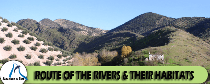
The walk starts from the “Fuentes de Cesna-Algarinejo” road in the district of Palancar. The route continues from “Molino Chicurro” towards the river Pesquera at which point it turns into a small path. It runs parallel with the river on the right hand side, then after about 150m it crosses over to the left.